
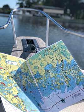
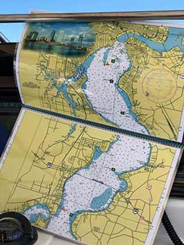
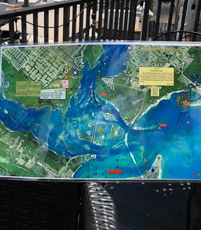
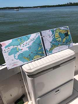
Personalized Wall Charts
Find Your Waters. Hang Them on Your Wall.
Pick any NOAA chart from our Chart Selector, add an illustration of your boat, and we'll turn it into a one-of-a-kind wall chart. Click the map below to open the full Chart Selector and find your waters.
Finished Wall Charts
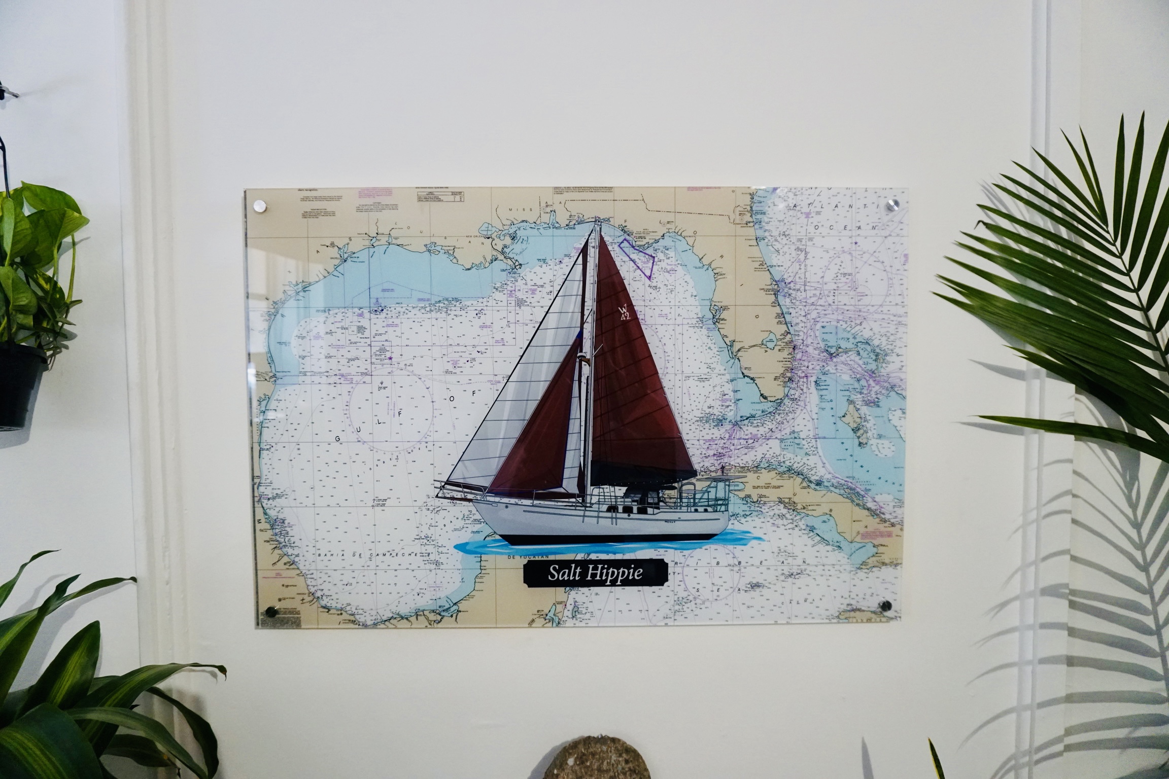
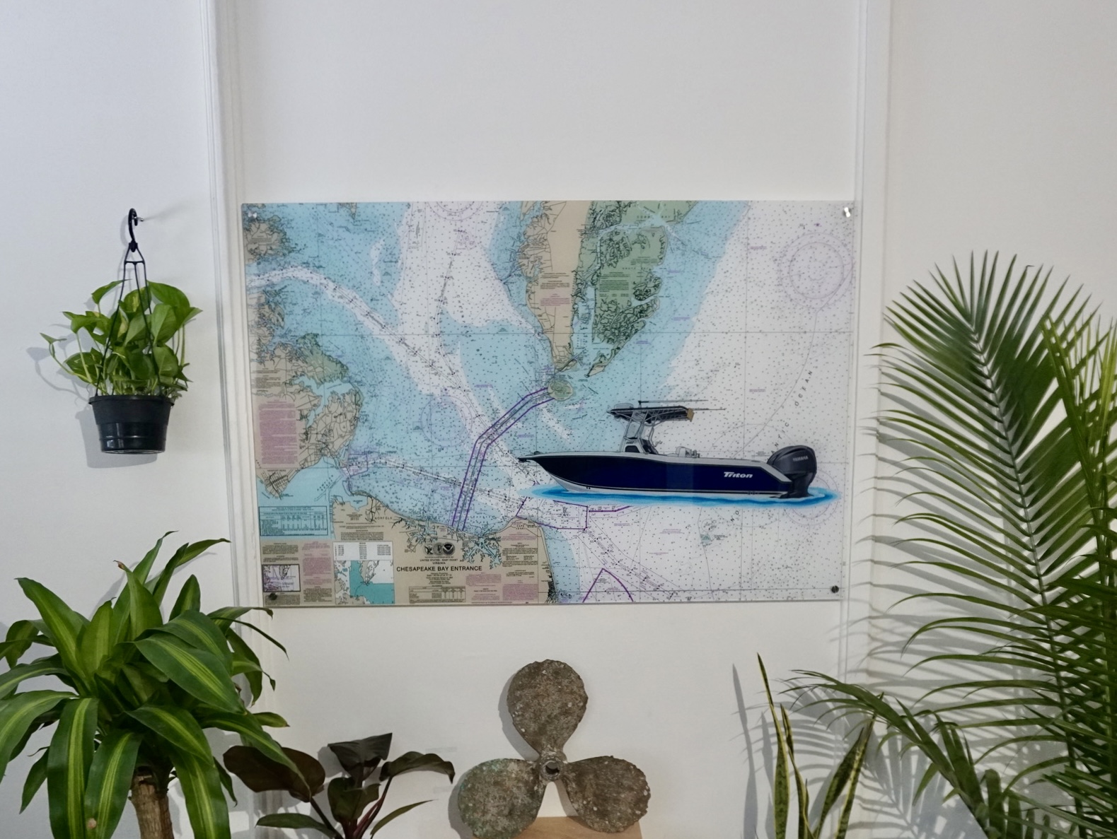
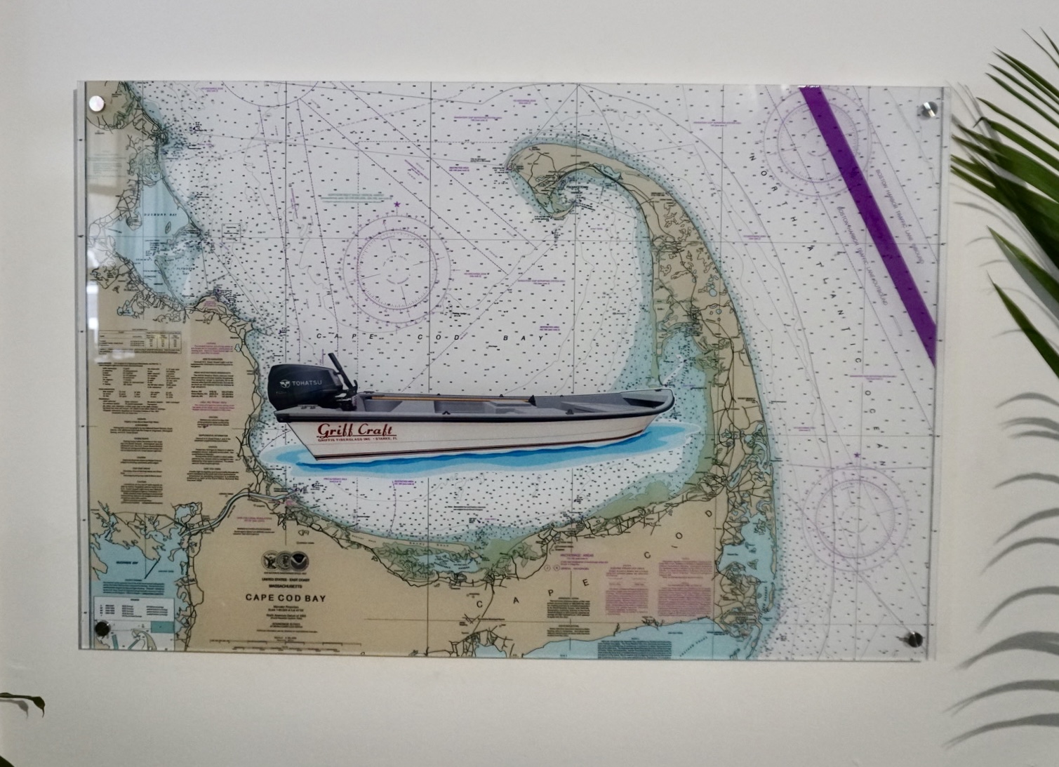
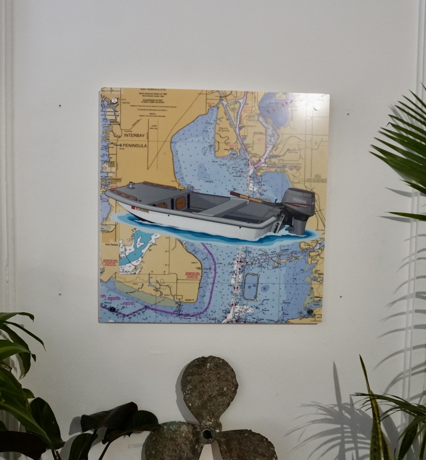
Every wall chart is designed by our artists and approved by you before printing.
Custom Boat Gear
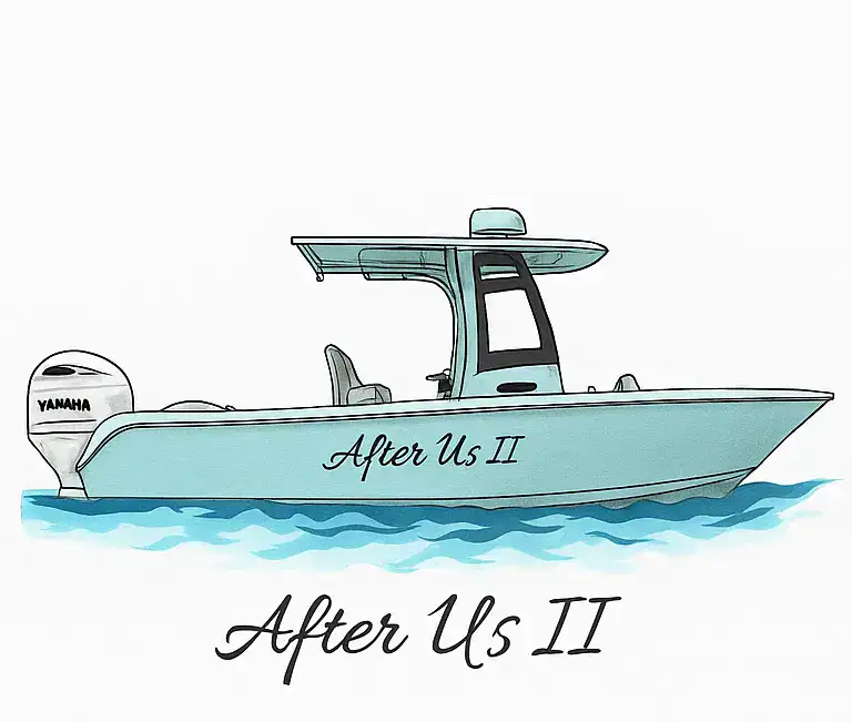
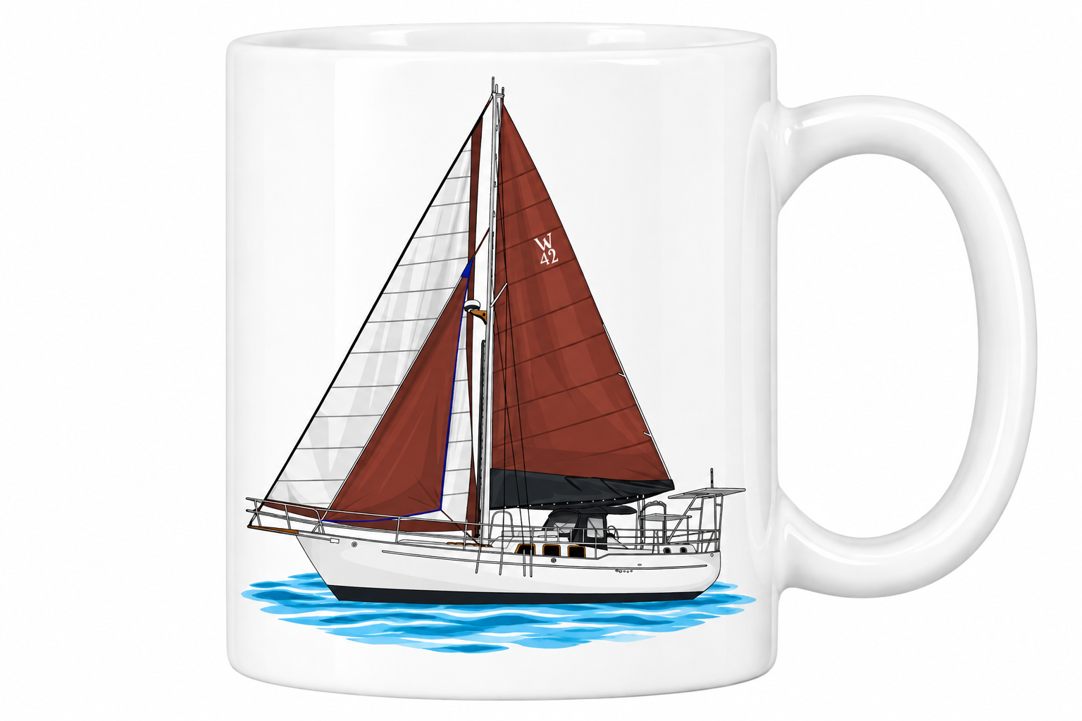
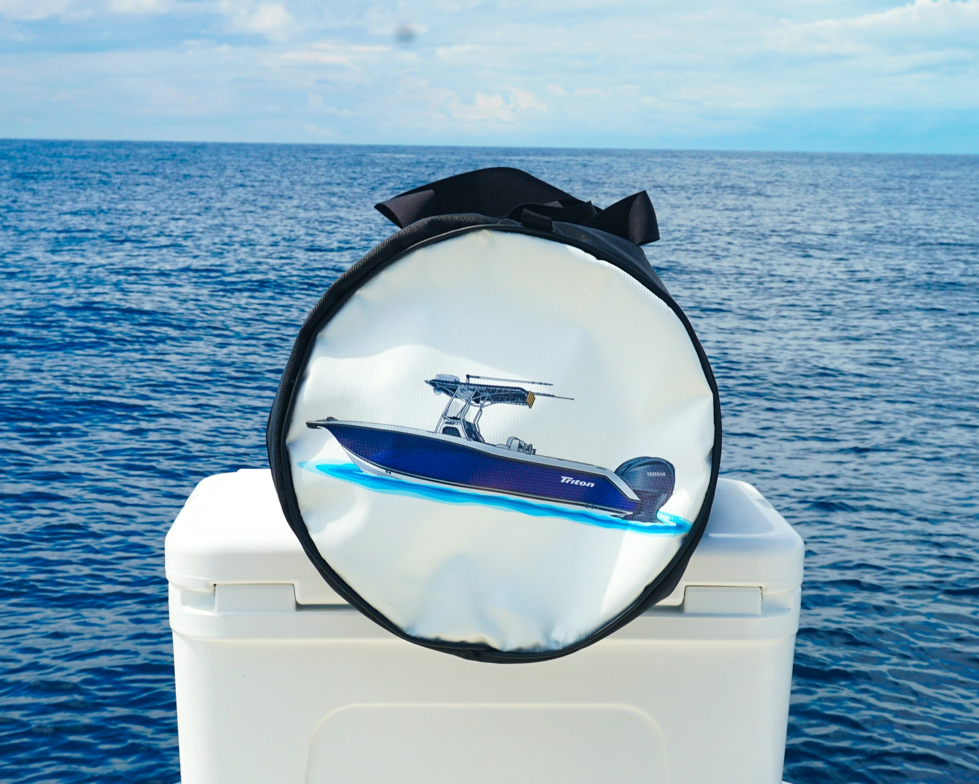
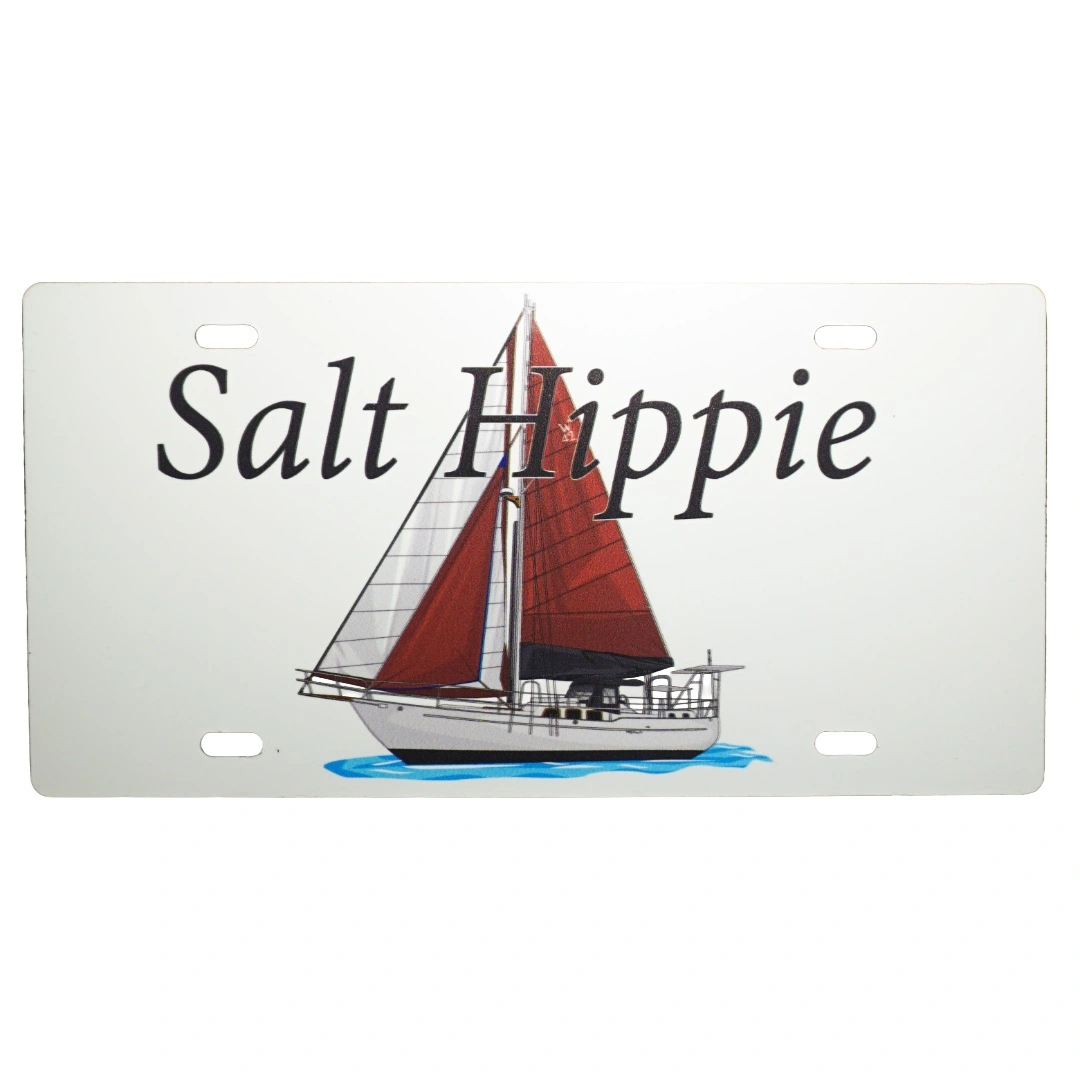
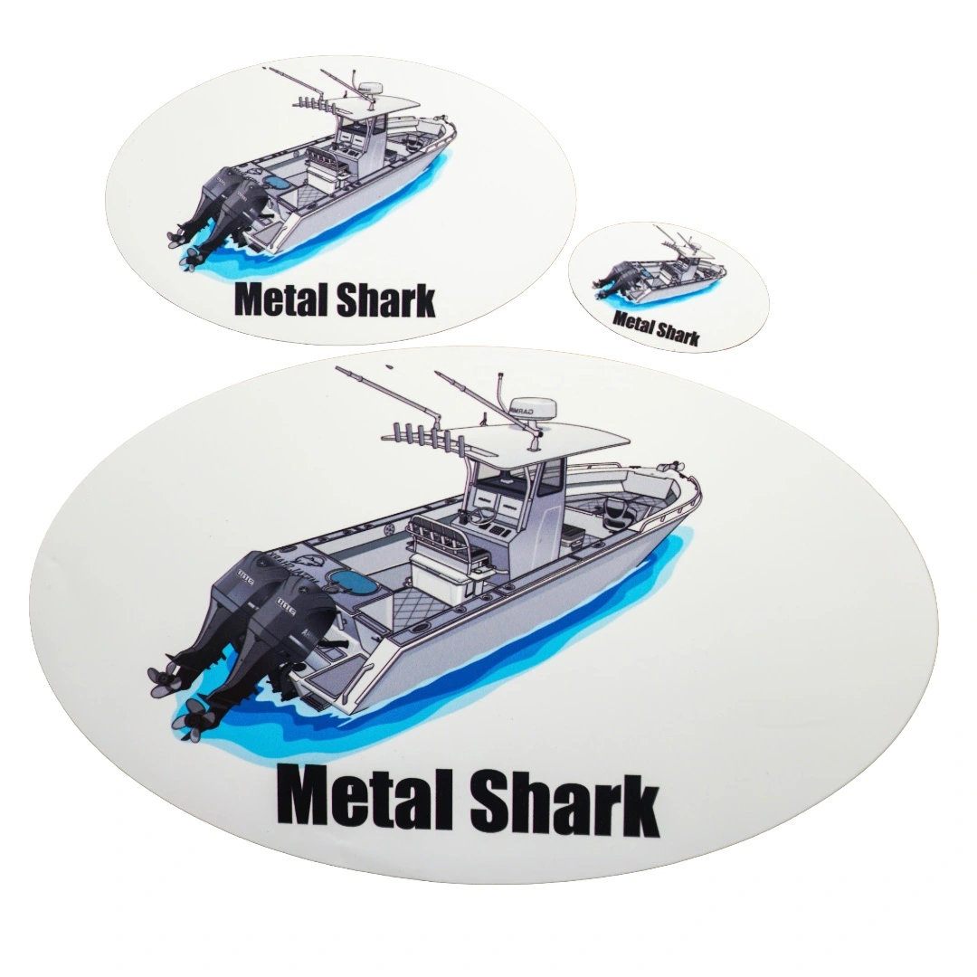
Your Boat, Illustrated by Our Artists
Send us a photo of your boat and we'll create custom artwork you can put on charts, mugs, dive bags, plates, stickers and more.
Welcome to Coastal Charts & Maps
Voted #1 – Most Popular Navigation Chart – Since 1996
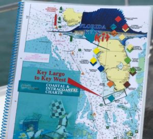
We were founded on the idea that boaters, from cruisers to kayakers, require charts that aid the boater. Generally, most paper charts are useless in a wet environment. Furthermore, we are talking about boating.
Additionally, chart size of 11 x 17 double sided with great color was selected. Moreover, this chart size is easy to handle in all conditions eliminating the storage problems associated with rolled up large charts and clumsy chart kits. Conversely, we have been on the right track since 1996 and we know this because larger companies try and duplicate what we do.
The principals in Coastal Charts & Maps bring over 35 years of Boating, Cruising and Boat Building into this business and with the ability to provide customized charts, Coastal Charts & Maps established itself as the leader in this unique field.

“I have worked with Larry and Linda for 4 years now, and could not be more grateful for the quality product they produce. Nevertheless, Coastal Charts has provided us with charts for every boat we have in fleet at our 3 Freedom Boat Club locations for our 300+ members to use – AND THEY USE THEM! Significantly it is not always easy to figure out the latest in GPS products on the water, and there are occasions that they do not work. As a USCG Licensed Captain, I feel to have actual charts on board to use and reference physical charts is one of the smartest and safest items to have on your vessel in addition to the required safety gear. Order your charts for your local waters today!”
Drew Goss, Owner
Freedom Boat Club of West Michigan
Testimonials
Larry – The Charts are great, will send off a check when I find a post office. Now if you could just settle the wind down so we can get to the Keys. Happy cruising,
Read moreLarry, I just want to let you know how much my Tow Boat US captains in Jacksonville appreciate your waterproof charts. We have used your waterproof charts on each of our tow boats since early 2005. These charts are easy to use and have helped on many occasions to coordinate the location of a disabled vessel when the owners do not have a clear picture of where they are located. My company will continue to use these charts on all of our tow boats as they are easy to maintain and use in heavy weather conditions and at night.
Read moreLarry, Great talking with you again. I want to let you know how much the Coast Guard Auxiliary appreciates your assistance in providing up to date charts for our classes. Our students really appreciate your charts and the ability to plot on them with a "Sharpie" while they are out at sea, and then wipe them clean for the next voyage. It is a real safety factor to get boaters in the habit of actively plotting their course run as the Navy does. This way if the GPS decides to quit, they can still know where the were within a 30 minute time span and plot a course to save harbor utilizing their compass, as we used to do before the electronic era.
Read more