
Custom Nautical Chart Kits
Personalized laminated chart kits with your boat illustration — ready for life on the water
Chart Kits
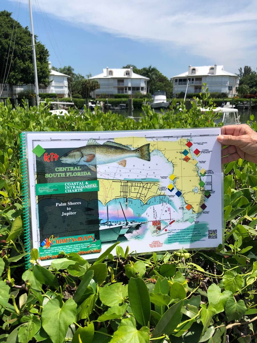
Central South Florida Nautical Chart Kit - Palm Shores to North Palm Beach
Nautical Chart Kit with details of channels & passes & highlighted Mile Markers. Enlarged navigation markers with photographic visuals. 11" x 17" pages, spiral-bound with full UV lamination.
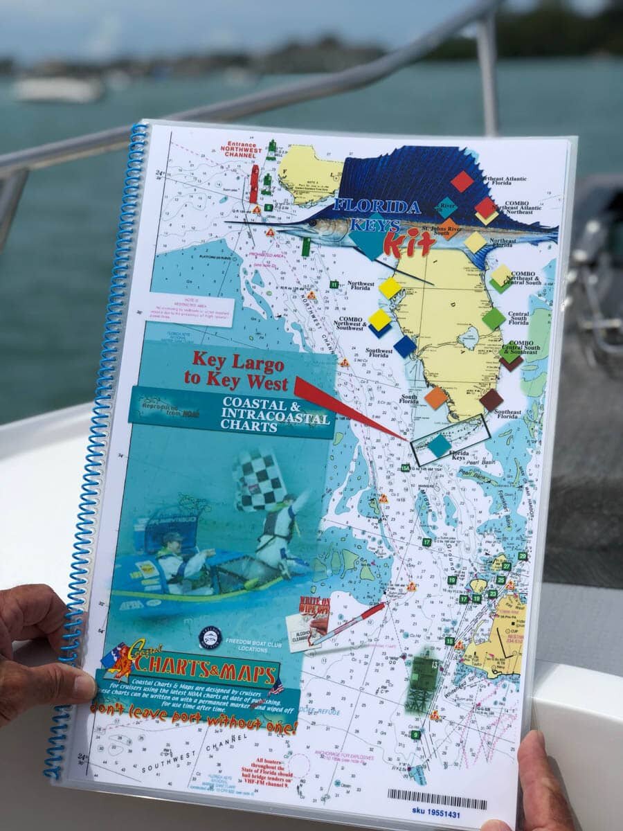
Key West to Key Largo Nautical Chart
Nautical Chart Kit with details of channels & passes & highlighted Mile Markers. Enlarged navigation markers with photographic visuals. 11" x 17" pages, spiral-bound with full UV lamination.
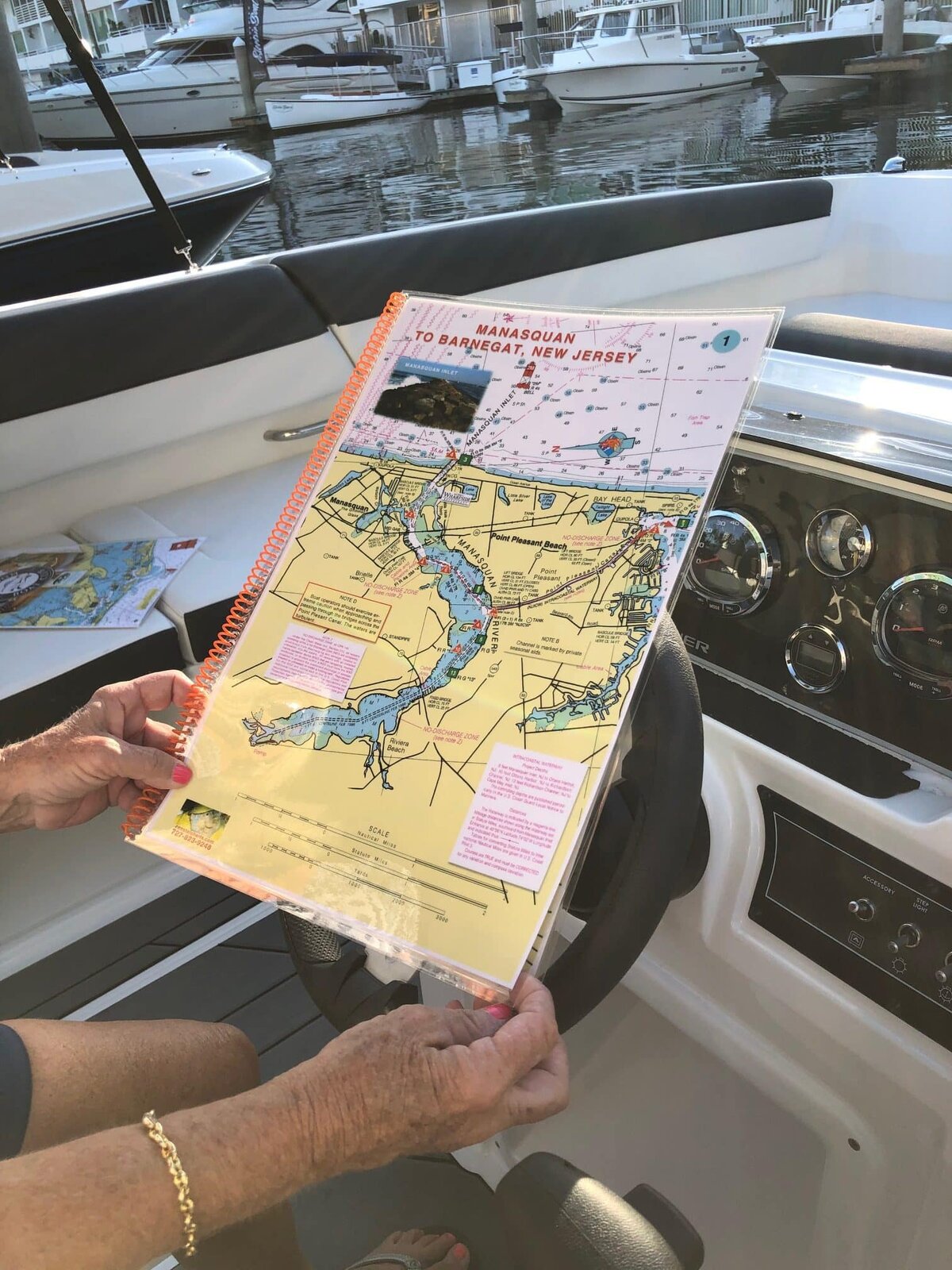
Manasquan to Barnegat, New Jersey Nautical Chart
Nautical Chart Kit with details of channels & passes & highlighted Mile Markers. Enlarged navigation markers with photographic visuals. 11" x 17" pages, spiral-bound with full UV lamination.
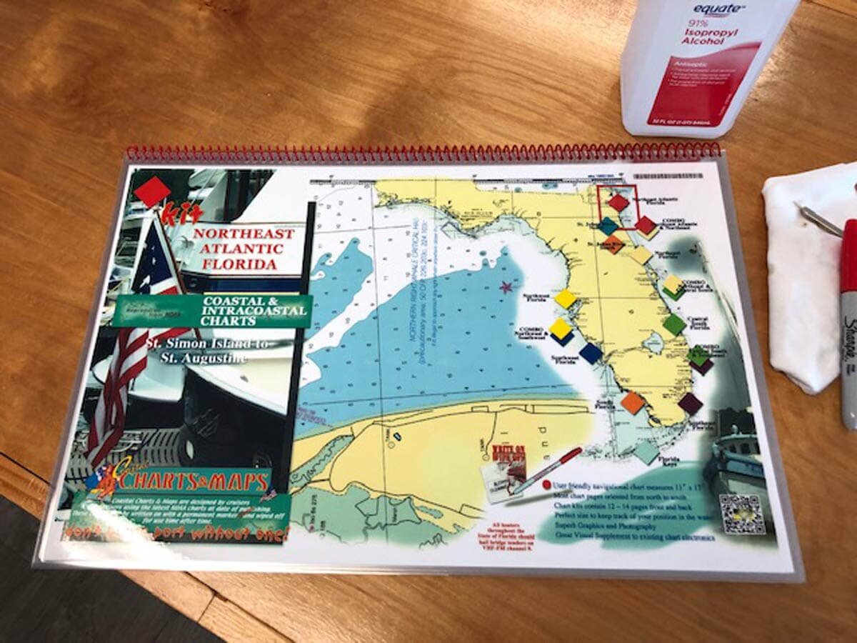
Northeast Atlantic Florida Nautical Chart Kit - St. Simon Island to St. Augustine
Nautical Chart Kit with details of channels & passes & highlighted Mile Markers. Enlarged navigation markers with photographic visuals. 11" x 17" pages, spiral-bound with full UV lamination.
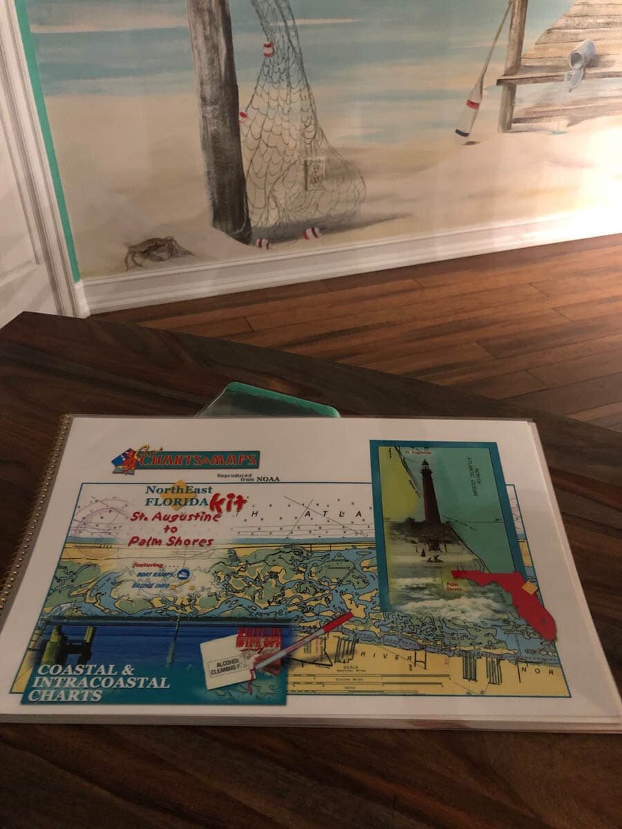
Northeast Florida Nautical Chart Kit - St. Augustine to Palm Shores
Nautical Chart Kit with details of channels & passes & highlighted Mile Markers. Enlarged navigation markers with photographic visuals. 11" x 17" pages, spiral-bound with full UV lamination.
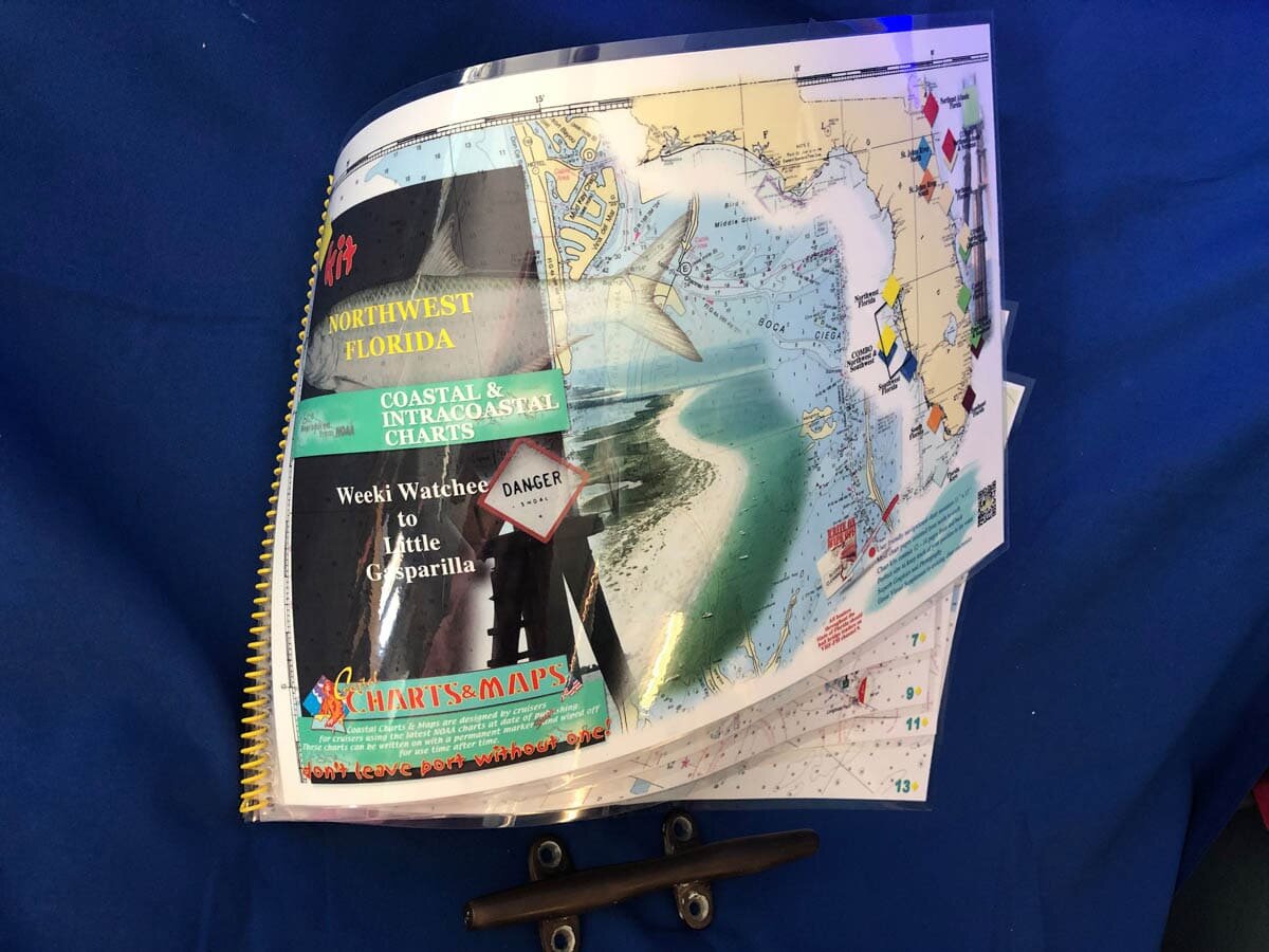
Northwest Florida Nautical Chart Kit - Tarpon Springs to Gasparilla Island
Nautical Chart Kit with details of channels & passes & highlighted Mile Markers. Enlarged navigation markers with photographic visuals. 11" x 17" pages, spiral-bound with full UV lamination.
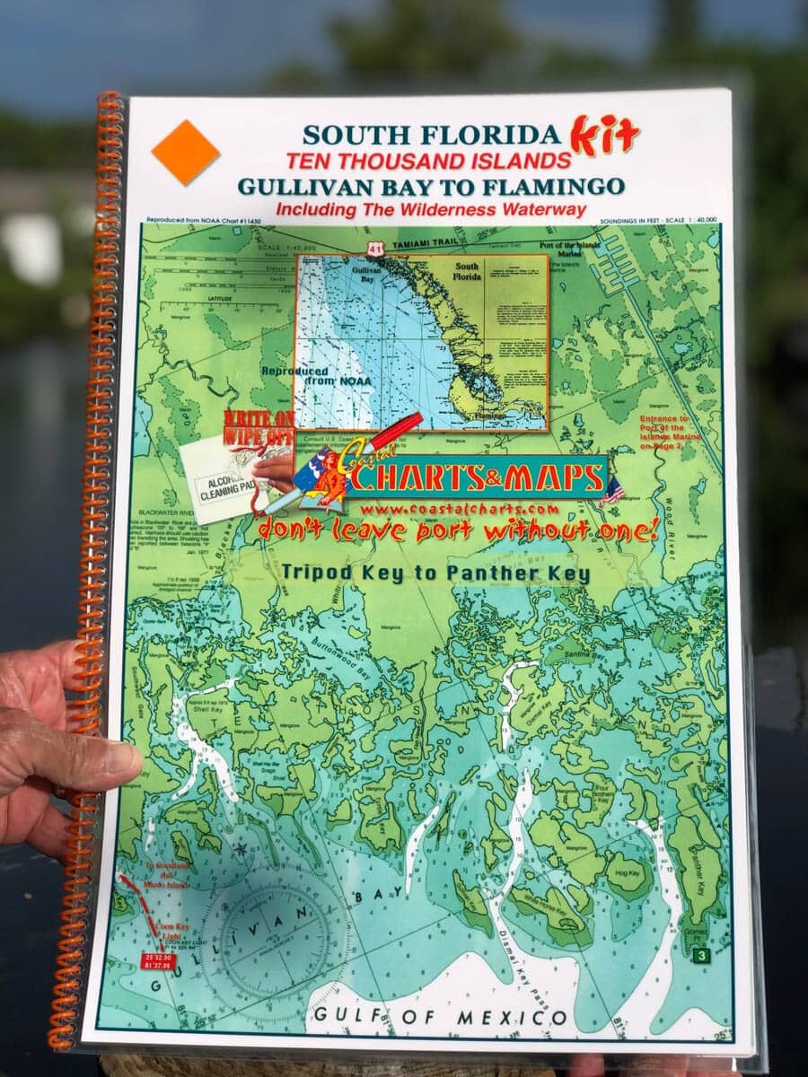
South Florida Nautical Chart Kit - Ten Thousand Islands Gullivan Bay to Flamingo Including the Wilderness Waterway
Nautical Chart Kit with details of channels & passes & highlighted Mile Markers. Enlarged navigation markers with photographic visuals. 11" x 17" pages, spiral-bound with full UV lamination.
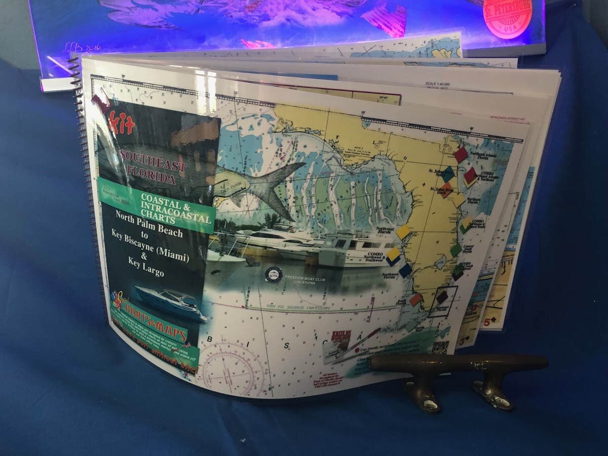
Southeast Florida Nautical Chart Kit - North Palm Beach to Key Biscayne, Miami Beach and Key Largo
Nautical Chart Kit with details of channels & passes & highlighted Mile Markers. Enlarged navigation markers with photographic visuals. 11" x 17" pages, spiral-bound with full UV lamination.
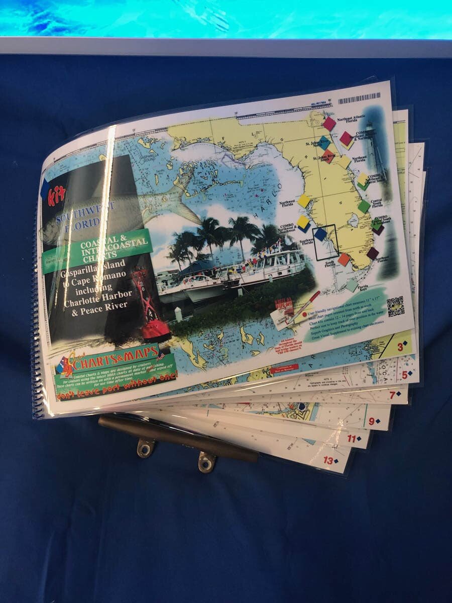
Southwest Florida Nautical Chart Kit - Gasparilla Island, Boca Grande, Charlotte Harbor, Peace River to Marco Island
Nautical Chart Kit with details of channels & passes & highlighted Mile Markers. Enlarged navigation markers with photographic visuals. 11" x 17" pages, spiral-bound with full UV lamination.
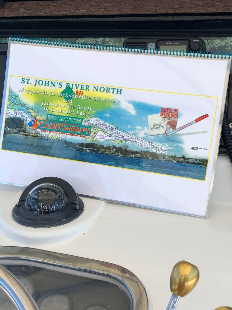
St Johns River North Nautical Chart - Mayport to South Jacksonville Overview and Jacksonville South to Crescent Lake
Nautical Chart Kit with details of channels & passes & highlighted Mile Markers. Enlarged navigation markers with photographic visuals. 11" x 17" pages, spiral-bound with full UV lamination.
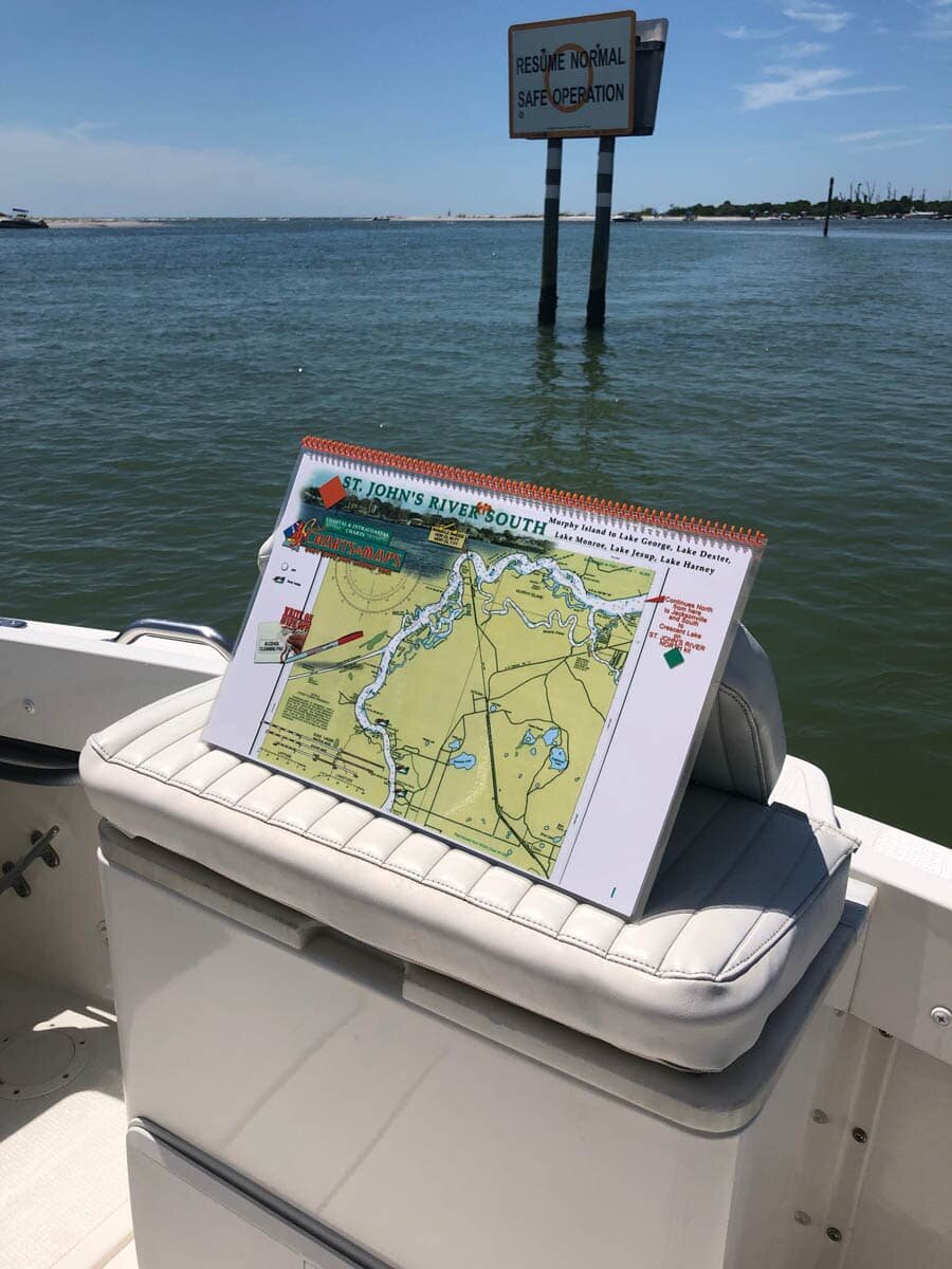
St Johns River South Nautical Charts - Murphy Island To Lake George, Lake Dexter, Lake Monroe, Lake Jesup, Lake Harnery
Nautical Chart Kit with details of channels & passes & highlighted Mile Markers. Enlarged navigation markers with photographic visuals. 11" x 17" pages, spiral-bound with full UV lamination.
Combo Chart Kits
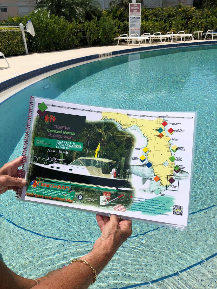
Combo Central South and Southeast Florida Navigational Chart Kit - Jensen Beach to Hollywood and North Miami Beach
Combined Chart Kit covering extended coastline areas. Spiral-bound with full UV lamination. 11" x 17" pages. Write-On Wipe-Off with Sharpie marker and alcohol.
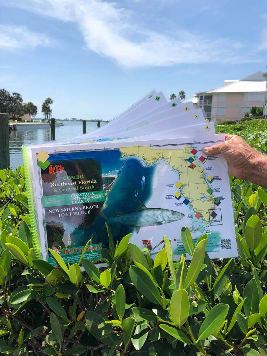
Combo Northeast Florida and Central South Florida Nautical Chart - New Smyrna Beach to Ft. Pierce Along The Indian River
Combined Chart Kit covering extended coastline areas. Spiral-bound with full UV lamination. 11" x 17" pages. Write-On Wipe-Off with Sharpie marker and alcohol.
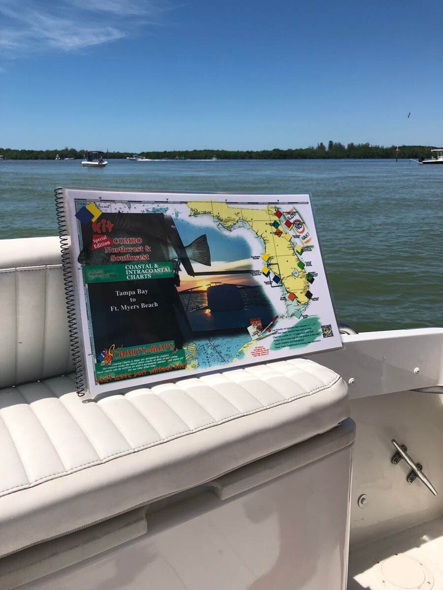
Combo Northwest Florida Southwest Florida Nautical Chart Kit - Tampa Bay to Fort Myers Beach
Combined Chart Kit covering extended coastline areas. Spiral-bound with full UV lamination. 11" x 17" pages. Write-On Wipe-Off with Sharpie marker and alcohol.
TruVue Chart Kits
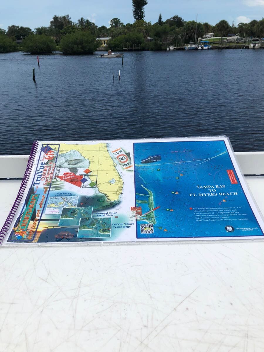
Truvue Combo Northwest and Southwest Florida Nautical Chart Kit - Tampa Bay To Ft. Myers Beach Including Charlotte Harbor and Pine Island Sound
TruVue Chart Kit enhanced with satellite imagery. Enlarged navigation markers along with photographic visuals. Each page measures 17" x 11". Full UV lamination at 10 mil. Write-On Wipe-Off with Sharpie marker and alcohol.
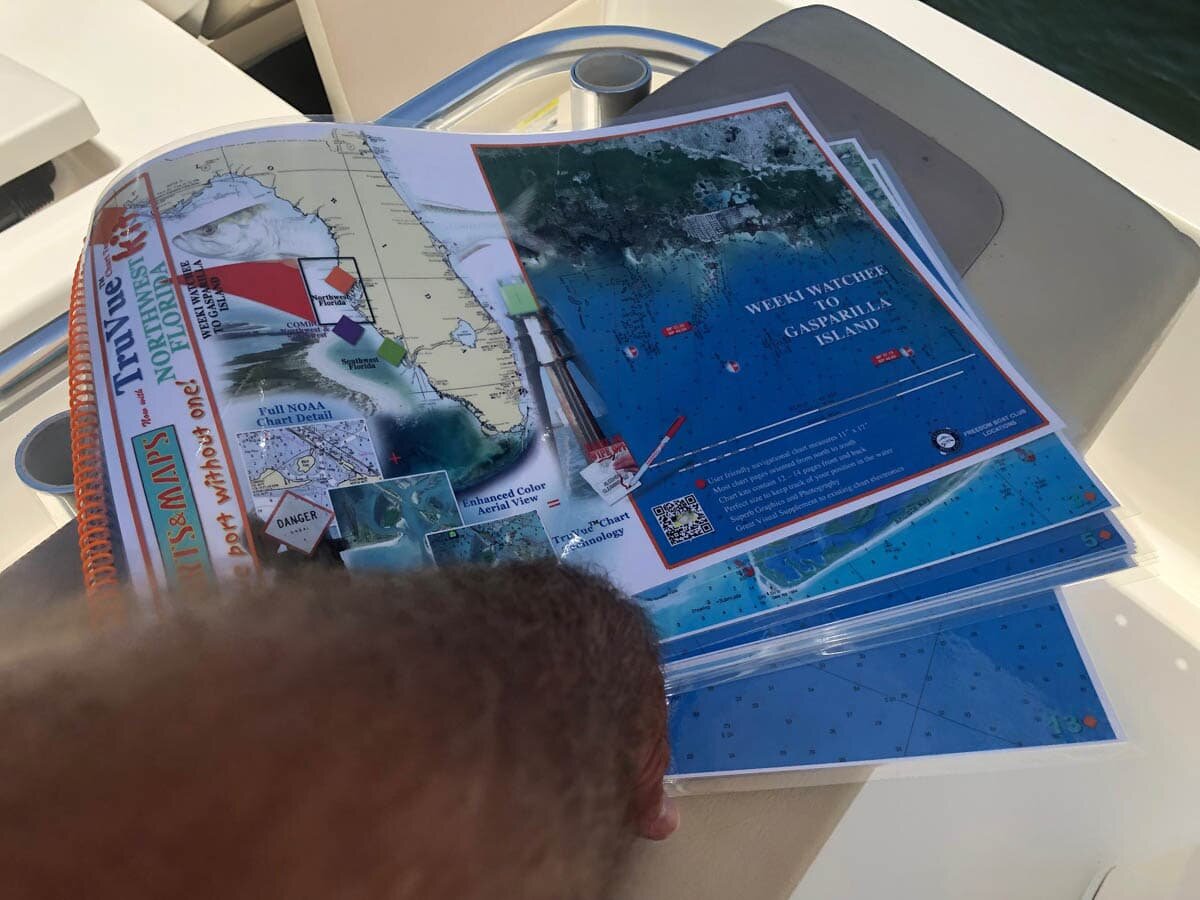
Truvue Northwest Florida Nautical Chart Kit - Weeki Watchee to Gasparilla Island
TruVue Chart Kit enhanced with satellite imagery. Enlarged navigation markers along with photographic visuals. Each page measures 17" x 11". Full UV lamination at 10 mil. Write-On Wipe-Off with Sharpie marker and alcohol.
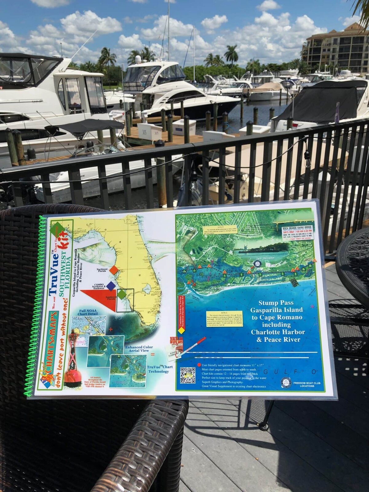
Truvue Southwest Florida Nautical Chart Kit - Stump Pass, Gasparilla Island to Cape Romano Including Charlotte Harbor and Peace River
TruVue Chart Kit enhanced with satellite imagery. Enlarged navigation markers along with photographic visuals. Each page measures 17" x 11". Full UV lamination at 10 mil. Write-On Wipe-Off with Sharpie marker and alcohol.
How Custom Chart Kits Work
Choose Your Chart Kit
Select the region that covers your favorite waterway from our collection above.
Upload Your Boat Artwork
Send us a photo or illustration of your boat and we'll create a custom overlay.
Receive Your Kit
Get a laminated, spiral-bound chart kit personalized with your boat — ready for navigation.