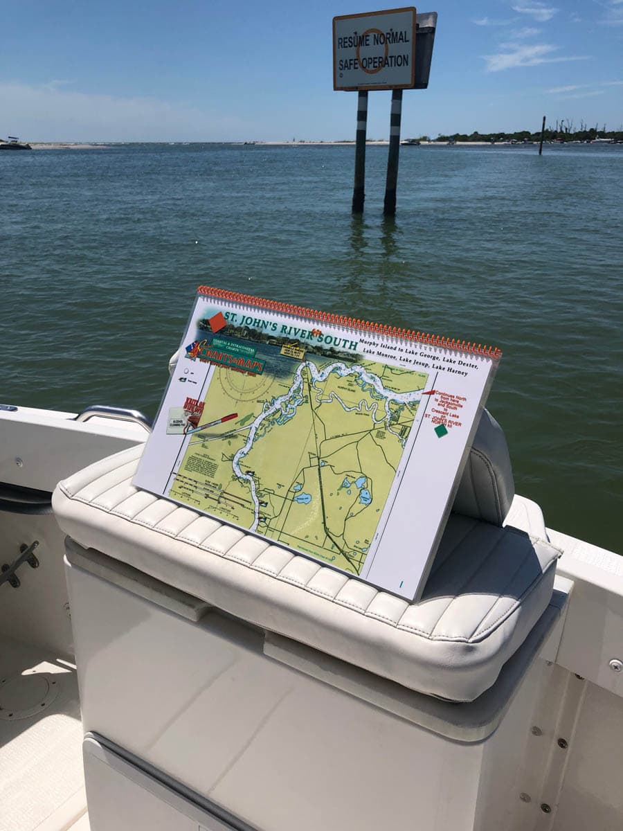
St Johns River South Nautical Charts – Murphy Island To Lake George, Lake Dexter, Lake Monroe, Lake Jesup, Lake Harnery
October 3, 2019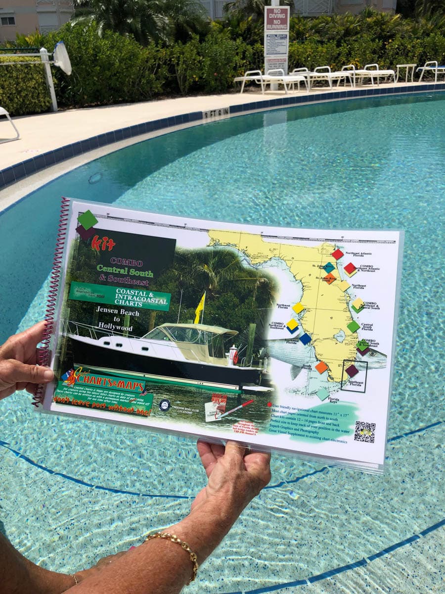
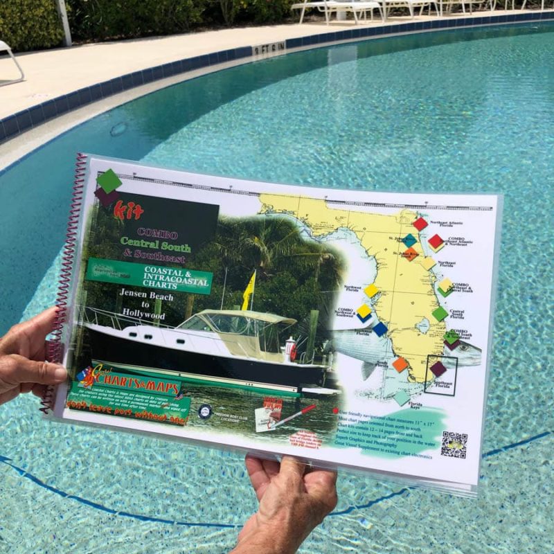
Combo Central South and Southeast Florida Navigational Chart Kit – Jensen Beach to Hollywood and North Miami Beach
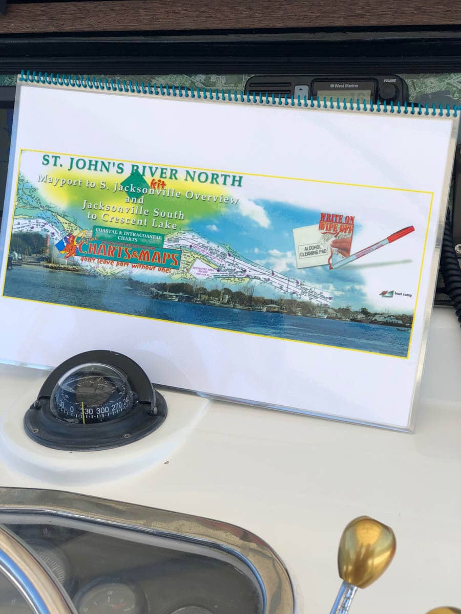
October 3, 2019St Johns River North Nautical Chart – Mayport to South Jacksonville Overview and Jacksonville South to Crescent Lake
$60.00
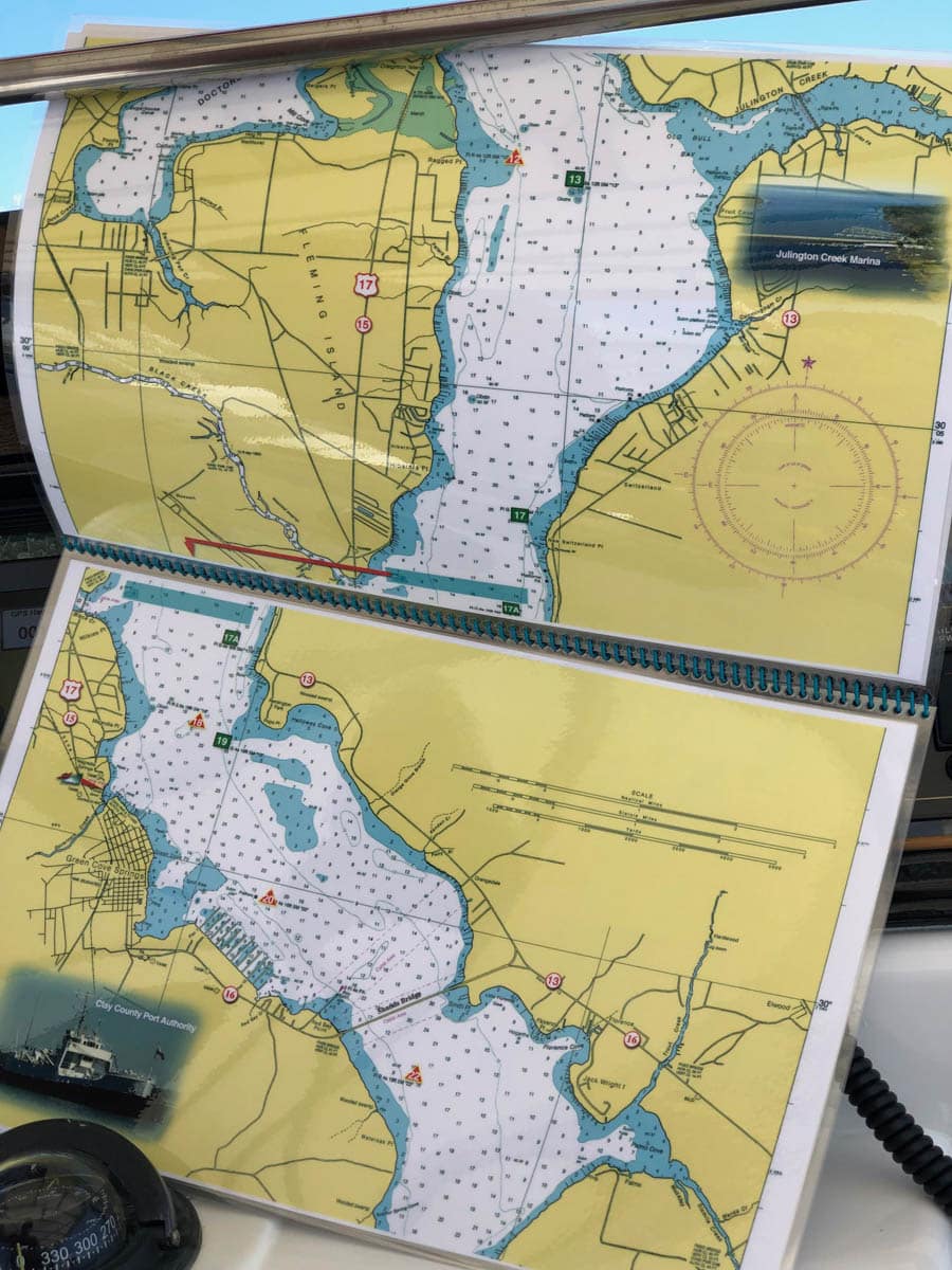
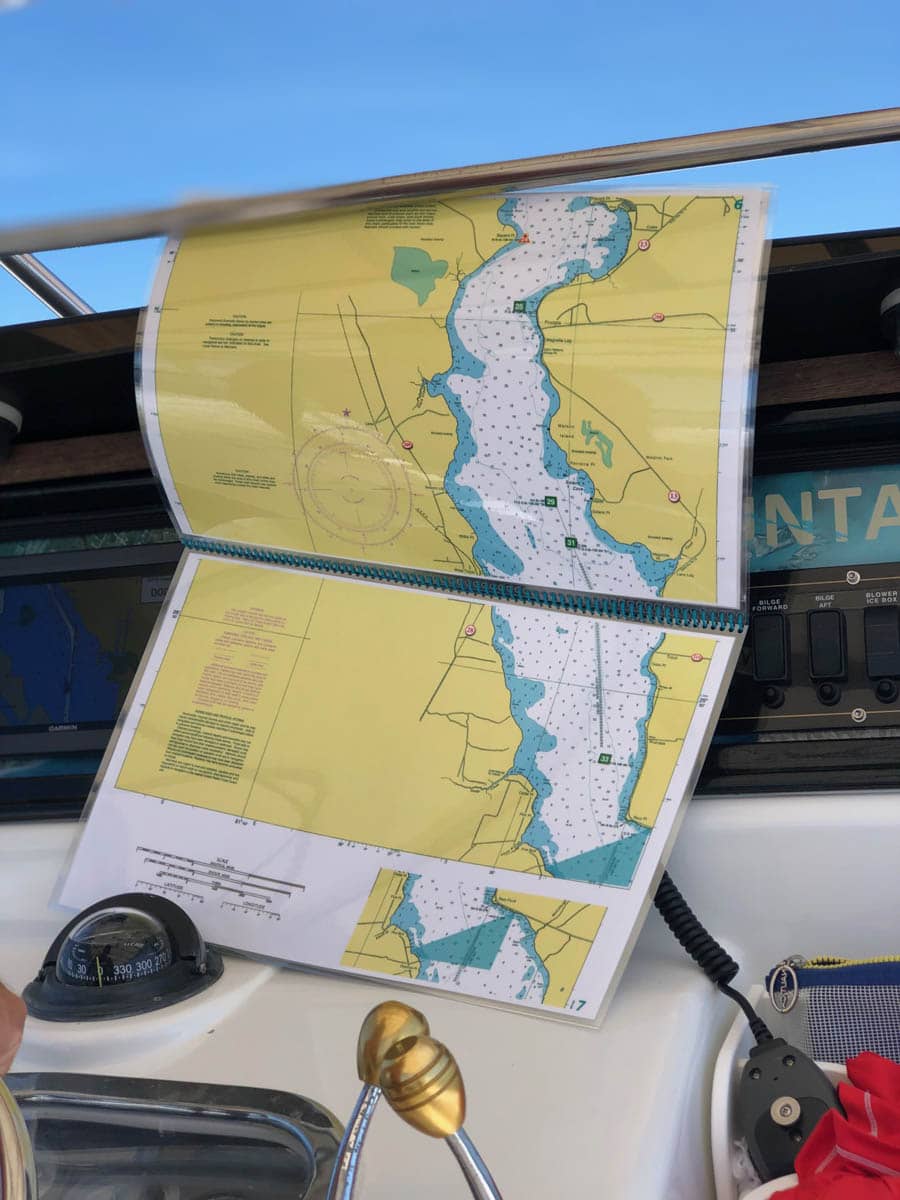
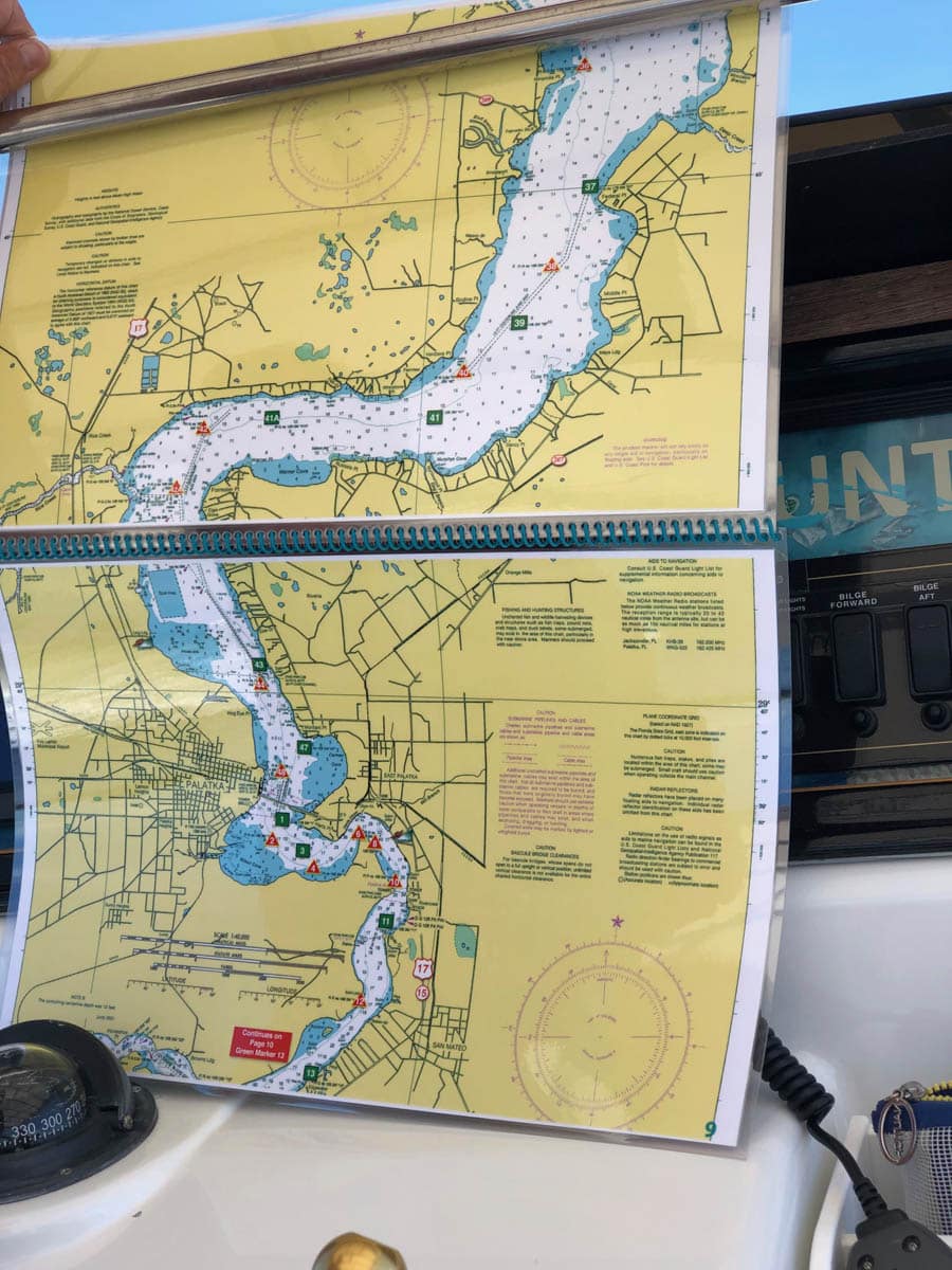
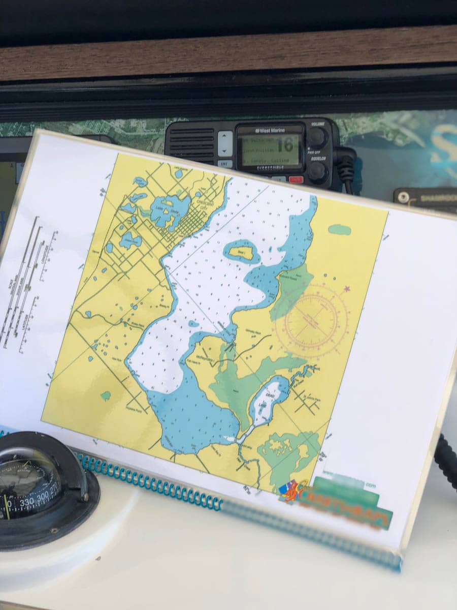
St Johns River Entrance to downtown Jacksonville and continuing south to Oranage Park, Palatka, Murphy Island and Crescent Lake. Enlarged navigation markers along with photographic visuals. Each page of the chart kit measures 17″ x 11″. Full uv lamination at 10 mil. “Write-On Wipe-Off! Time after Time” with a Sharpie marker and alcohol. Used by Coast Guard and coast Guard Auxilliaries, Marinas, Boat Rentals, Boat Clubs, County Sheriffs, Insurance companies, Real Estate and more! Easiest Boating Chart You Will Ever Use
Category: Nautical Chart Kits
Additional information
| State |
|---|
Reviews 0
Be the first to review “St Johns River North Nautical Chart – Mayport to South Jacksonville Overview and Jacksonville South to Crescent Lake” Cancel reply





Reviews
There are no reviews yet.