
Grand Haven Michigan, Spring Lake and Lower Grand River Nautical Chart
July 29, 2022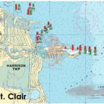
Lake St Clair
September 3, 2025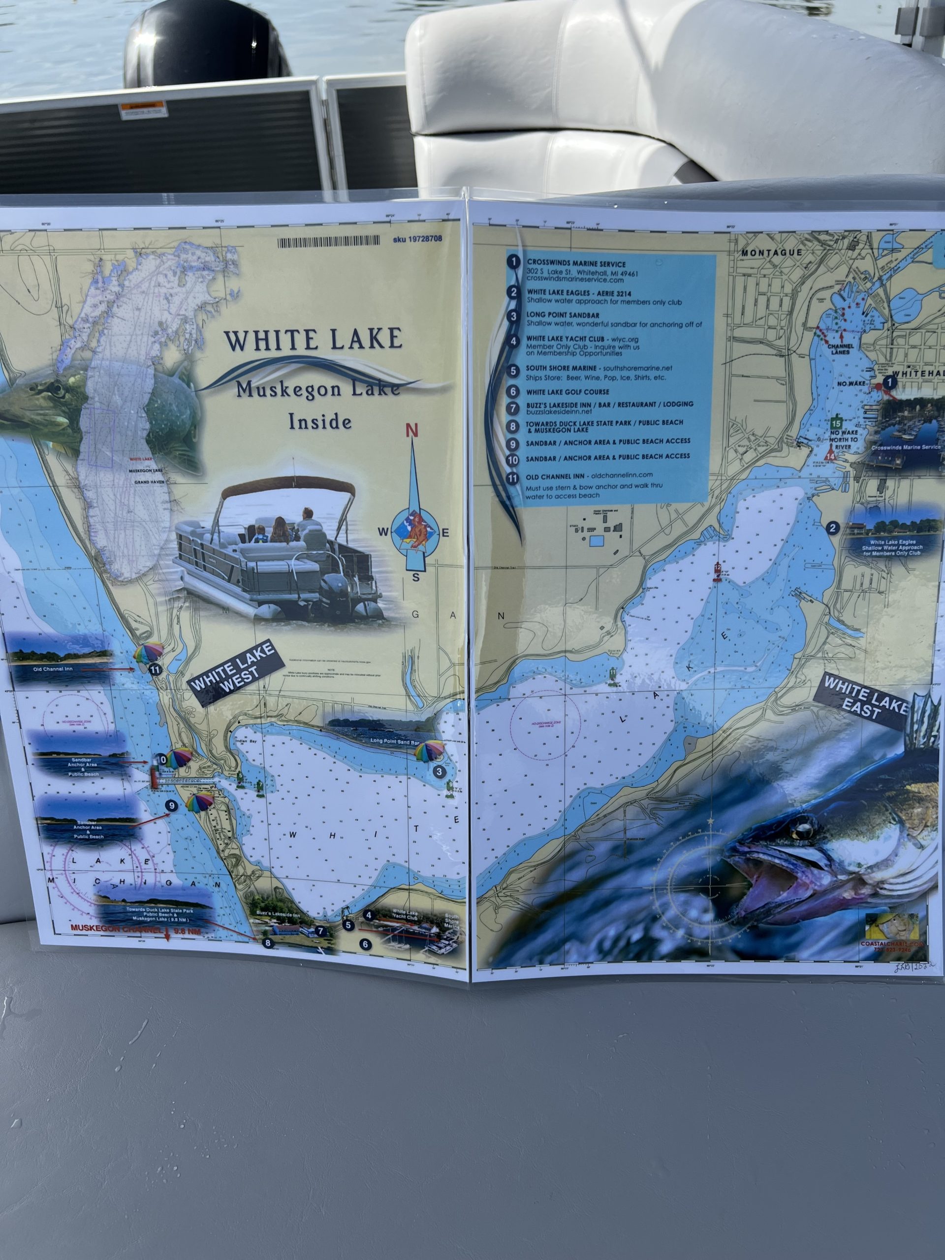


White Lake Michigan and Muskegon Lake Michigan Nautical Chart
$26.00
This chart covers the area of White Lake on the outside and Muskegon Lake on the inside. Highlights include enlarged markers, local area restaurants and points of interest and beach access along with photographic visuals. The chart measures 11” x 17” closed and 22” x 17” open. Full uv lamination at 10 mil. “Write-On Wipe-Off! Time after Time” with a Sharpie marker and alcohol. Used by the Coast Guard and Coast Guard Auxilliaries, Marinas, Boat Rentals, Boat Clubs, County Sheriffs, Insurance companies, Real Estate and more! Easiest Boating Chart You Will Ever Use.
Additional information
| State |
|---|
Reviews 0
Reviews
There are no reviews yet.