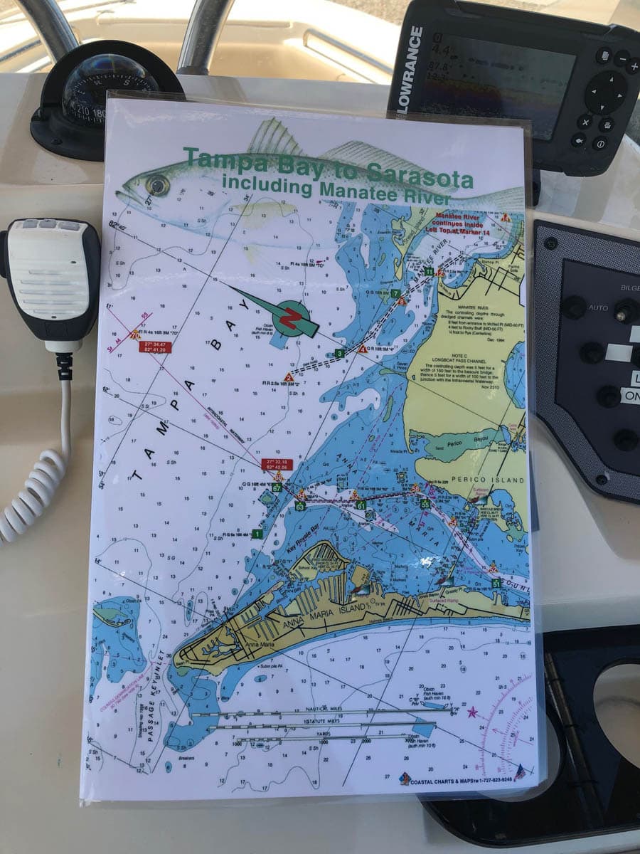
Tampa Bay to Sarasota including the Manatee River Nautical Chart
October 3, 2019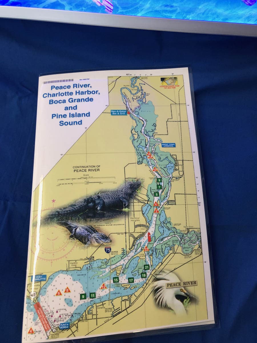
Peace River, Charlotte Harbor and Pine Island Sound Nautical Charts
October 3, 2019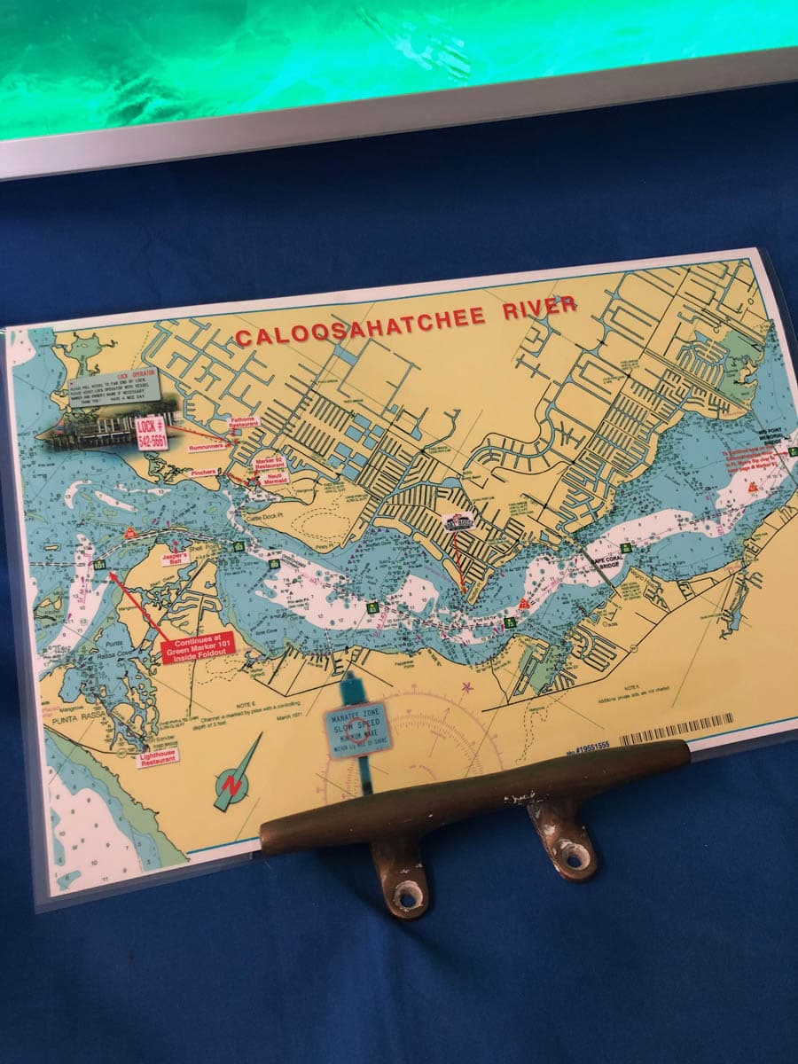


Caloosahatchee River and Pine Island Sound Nautical Chart
$26.00
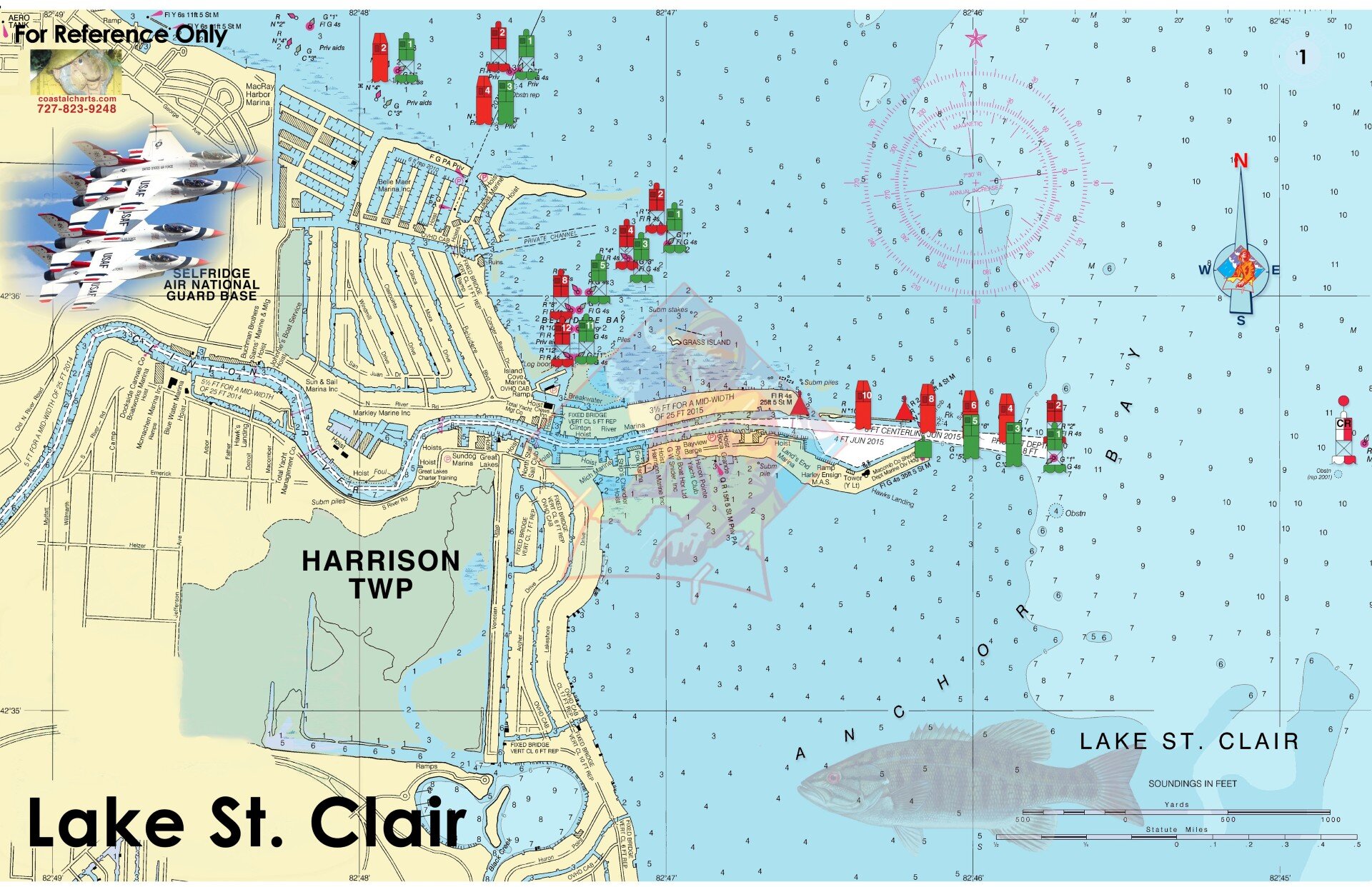
This chart covers the area of Fort Myers, and Cape Coral, Florida along the Caloosahatchee River with Pine Island Sound on the inside double page of this chart. Highlights include local area restaurants, the State Park on Cayo Costa, Cabbage Key, Pine Island, North Captiva and Sanibel. Enlarged navigation markers along with photographic visuals. The chart measures 17″ x 11″ closed and 17″ x 22″ open. Full uv lamination at 10 mil. “Write-On Wipe-Off! Time after Time” with a Sharpie marker and alcohol. Used by Coast Guard and Coast Guard Auxilliaries, Marinas, Boat Rentals, Boat Clubs, County Sheriffs, Insurance companies, Real Estate and more! Easiest Boating Chart You Will Ever use.
Additional information
| State |
|---|
Reviews 0

Reviews
There are no reviews yet.