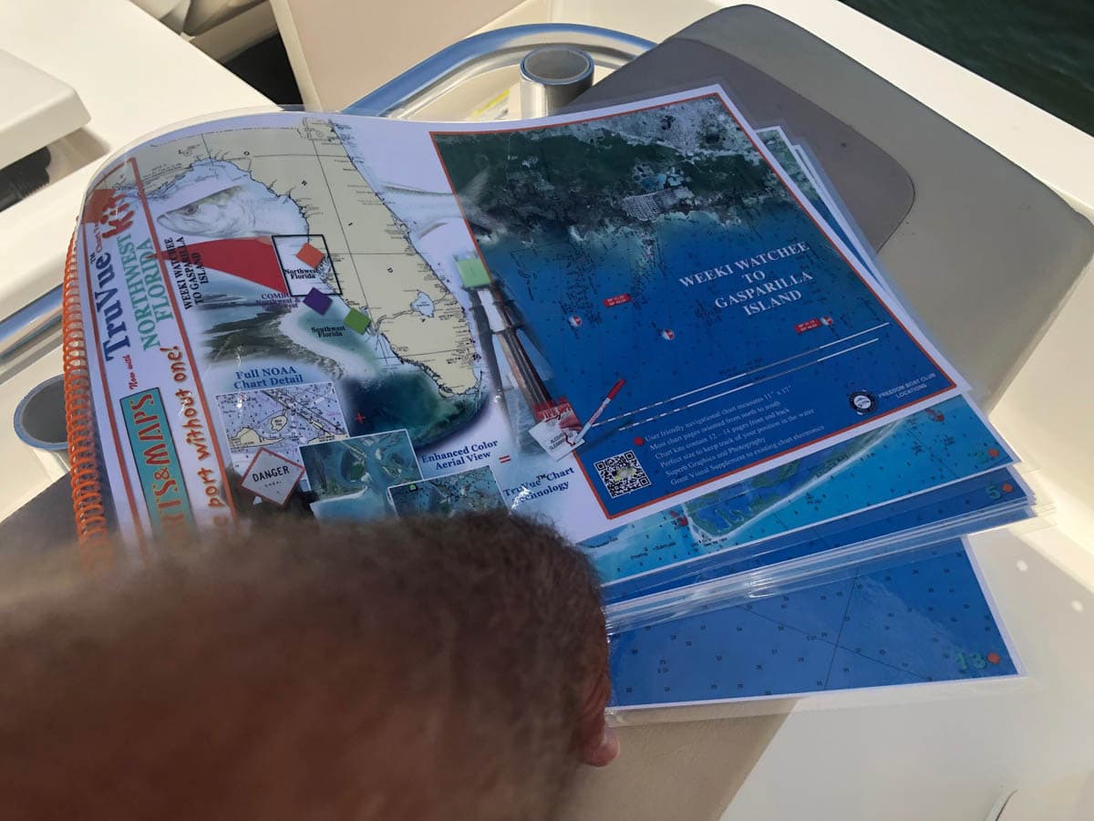
Truvue Northwest Florida Nautical Chart Kit – Weeki Watchee to Gasparilla Island
October 3, 2019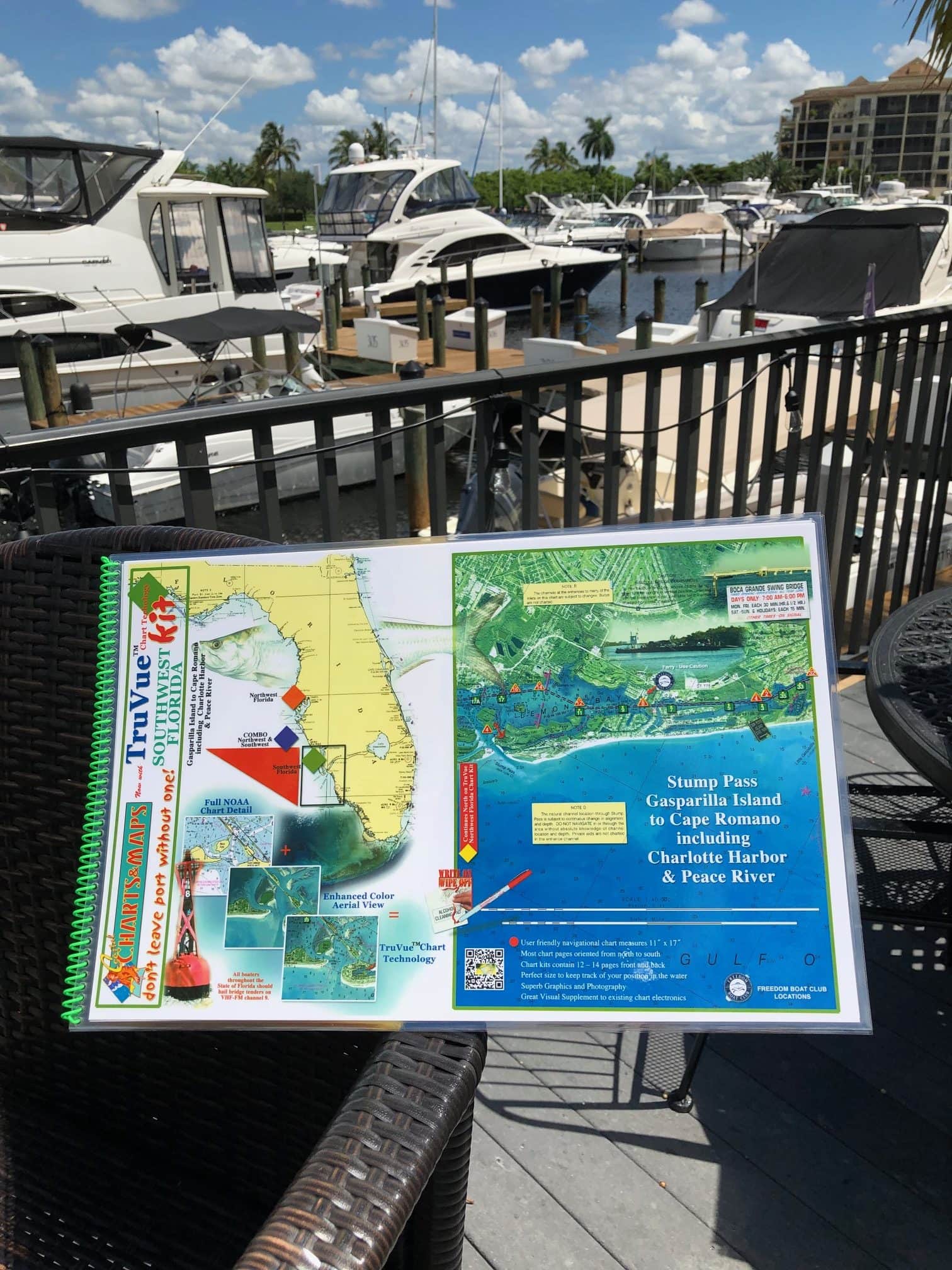
Truvue Southwest Florida Nautical Chart Kit – Stump Pass, Gasparilla Island to Cape Romano Including Charlotte Harbor and Peace River
October 3, 2019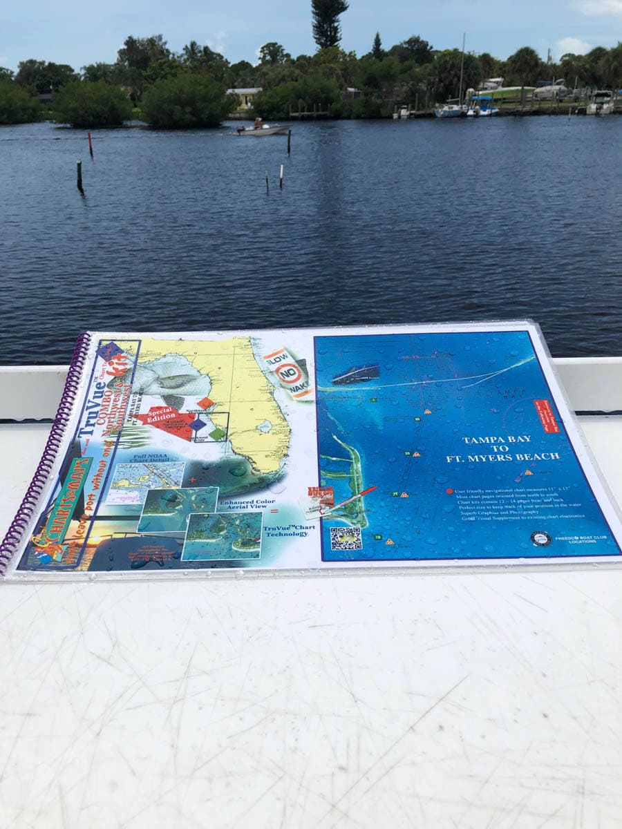


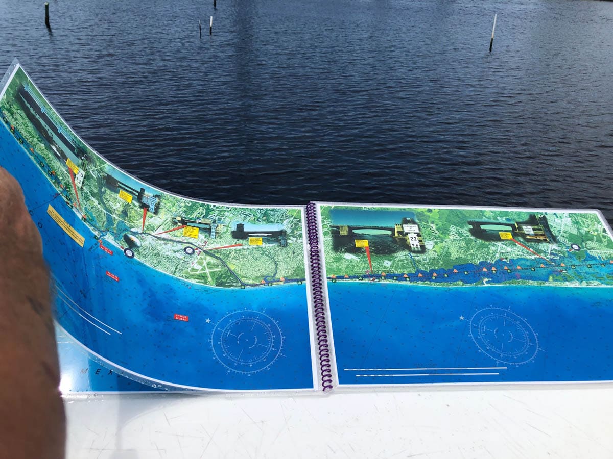
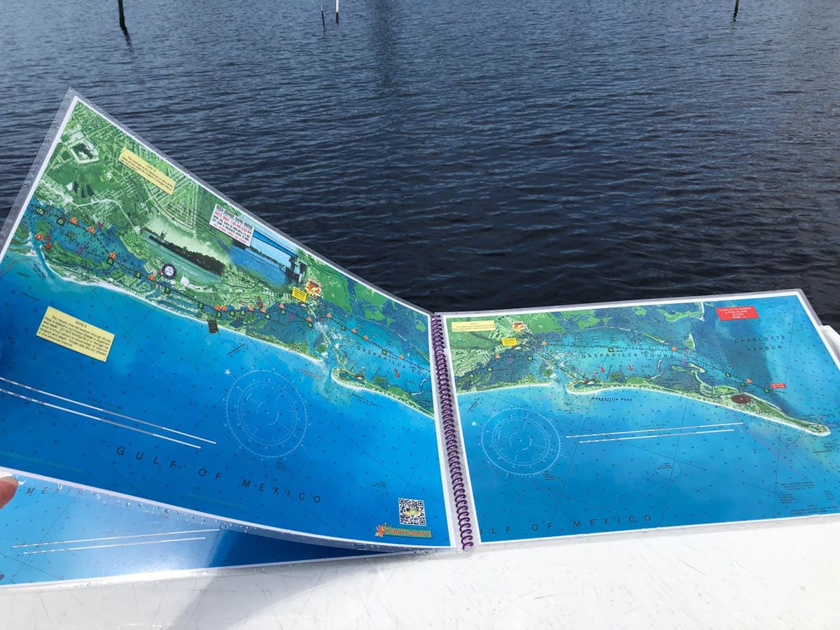


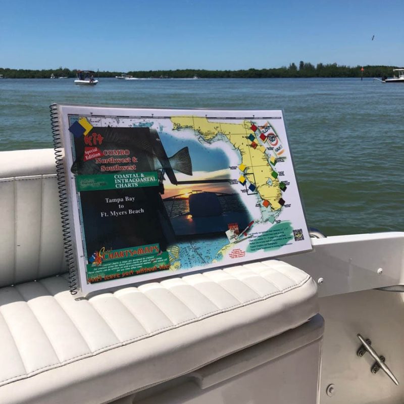
Truvue Combo Northwest and Southwest Florida Nautical Chart Kit – Tampa Bay To Ft. Myers Beach Including Charlotte Harbor and Pine Island Sound
$60.00
This chart kit covers the area from Tampa Bay to Ft. Myers Beach and is enhanced with satellite imagery. On the last 2 pages of this chart kit is upper Charlotte Harbor, lower Charlotte Harbor and an overview of Pine Island Sound. Enlarged navigation markers along with photographic visuals. Each page of the chart kit measures 17″ x 11″. Full uv lamination at 10 mil. “Write-On Wipe-Off! Time after Time” with a Sharpie marker and alcohol. Used by Coast Guard and coast Guard Auxilliaries, Marinas, Boat Rentals, Boat Clubs, County Sheriffs, Insurance companies, Real Estate and more! Easiest Boating Chart You Will Ever Use
Additional information
| State |
|---|
Reviews 0


Reviews
There are no reviews yet.